

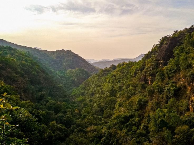
Where the Satpuras rise.
Distinct Geographic Zones of Melghat
Ranging from river basin elevations of 312 m to high plateau summits reaching 1,178 m, Melghat's diverse altitude bands host distinct forest types and wildlife micro-habitats.
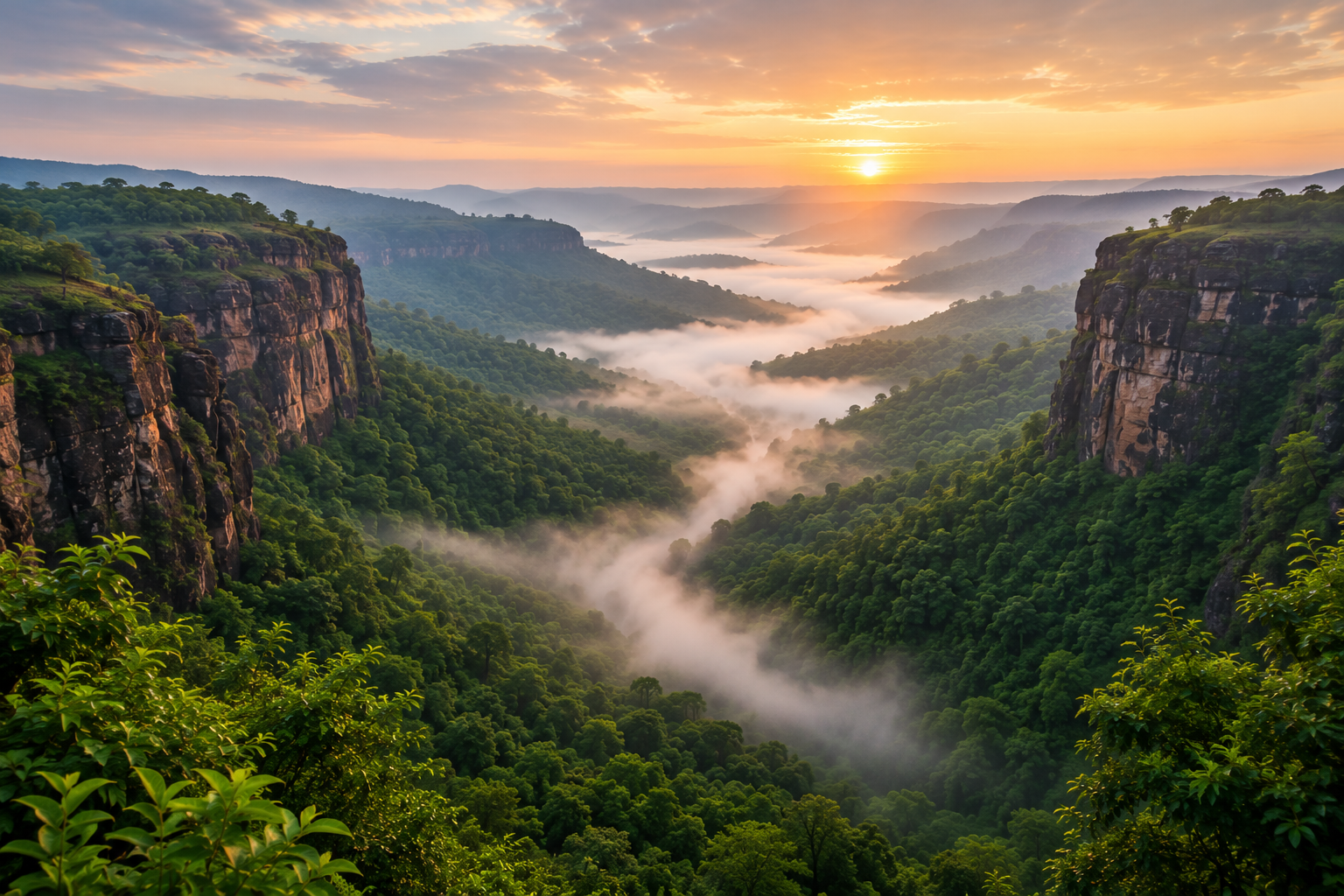 High Plateau
1,118 m – 1,188 m
High Plateau
1,118 m – 1,188 m
Chikhaldara & Gavilgarh Ridge
The highest tableland of the Gavilgarh range, characterized by sheer basalt cliffs, misty plateaus, and historic ramparts overlooking the valley below.
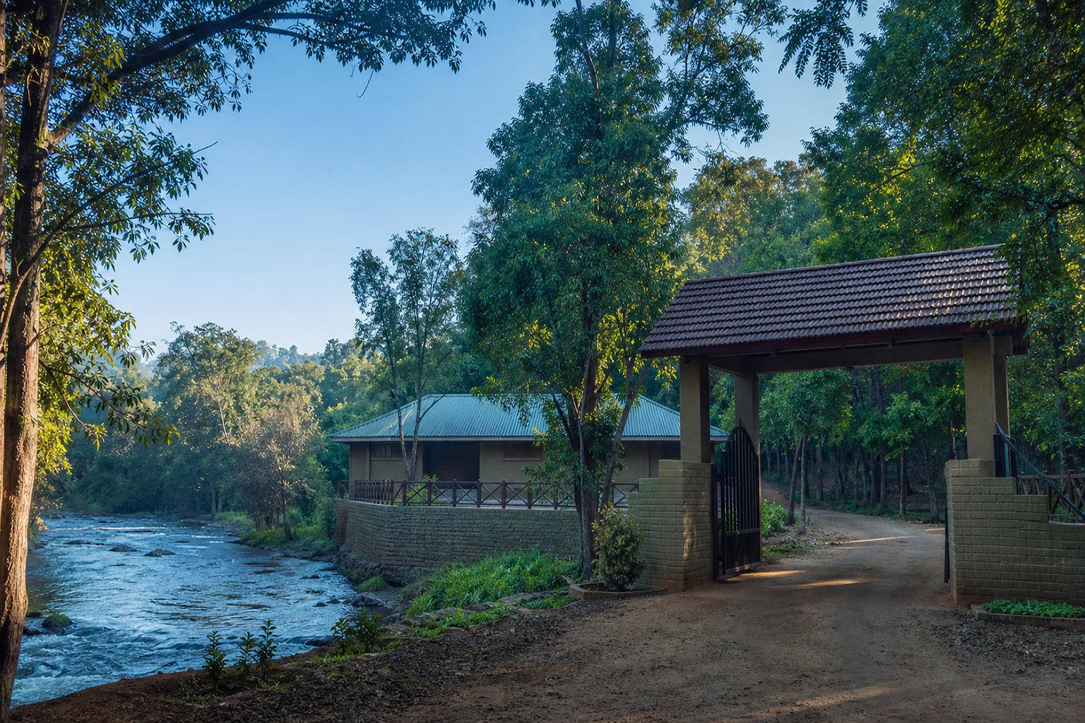 River Basin
450 m – 650 m
River Basin
450 m – 650 m
Semadoh & Sipna Valley
The central drainage basin where perennial forest streams converge, surrounded by towering teak trees and vibrant riparian habitats rich in birdlife.
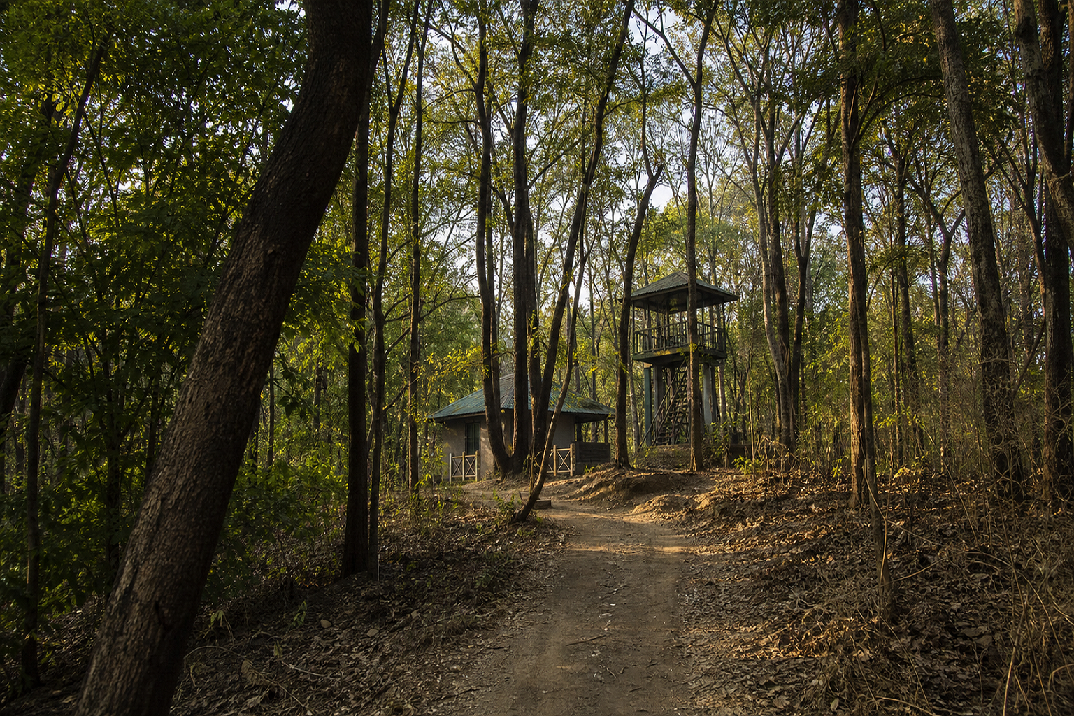 River Gorge
480 m – 720 m
River Gorge
480 m – 720 m
Kolkas Deep Ravines
Carved by the relentless flow of the Sipna river, Kolkas features dramatic canyon walls, steep slopes, and rocky overhangs that provide shelter to leopards and sloth bears.
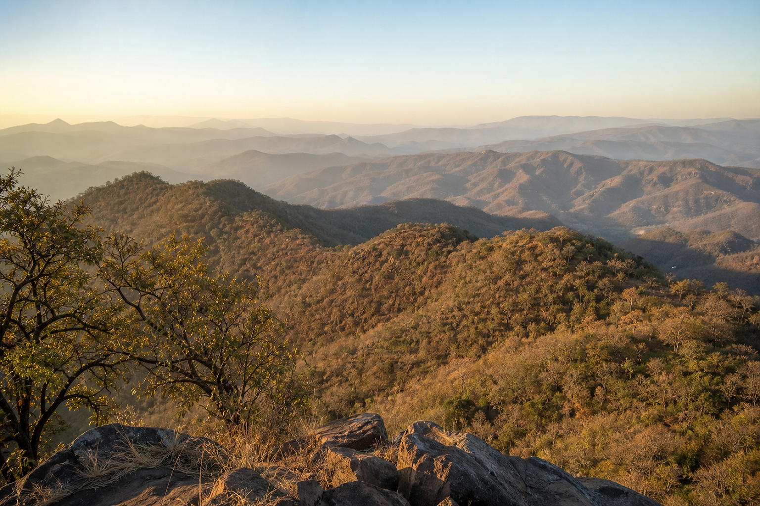 Core Highland
680 m – 1,050 m
Core Highland
680 m – 1,050 m
Hatru Satpura Highlands
Deep interior plateau country with dense canopy cover, rolling hills, and undisturbed wilderness that acts as a vital sanctuary for the endangered Forest Owlet.
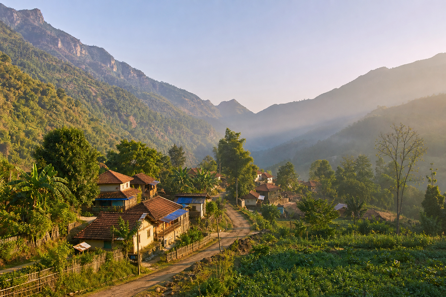 Moist Valley
520 m – 800 m
Moist Valley
520 m – 800 m
Harisal & Bamboo Woodlands
A tranquil ecological zone featuring lush bamboo brakes, mixed deciduous woodlands, and natural waterholes frequently visited by herds of Gaur and Sambar.
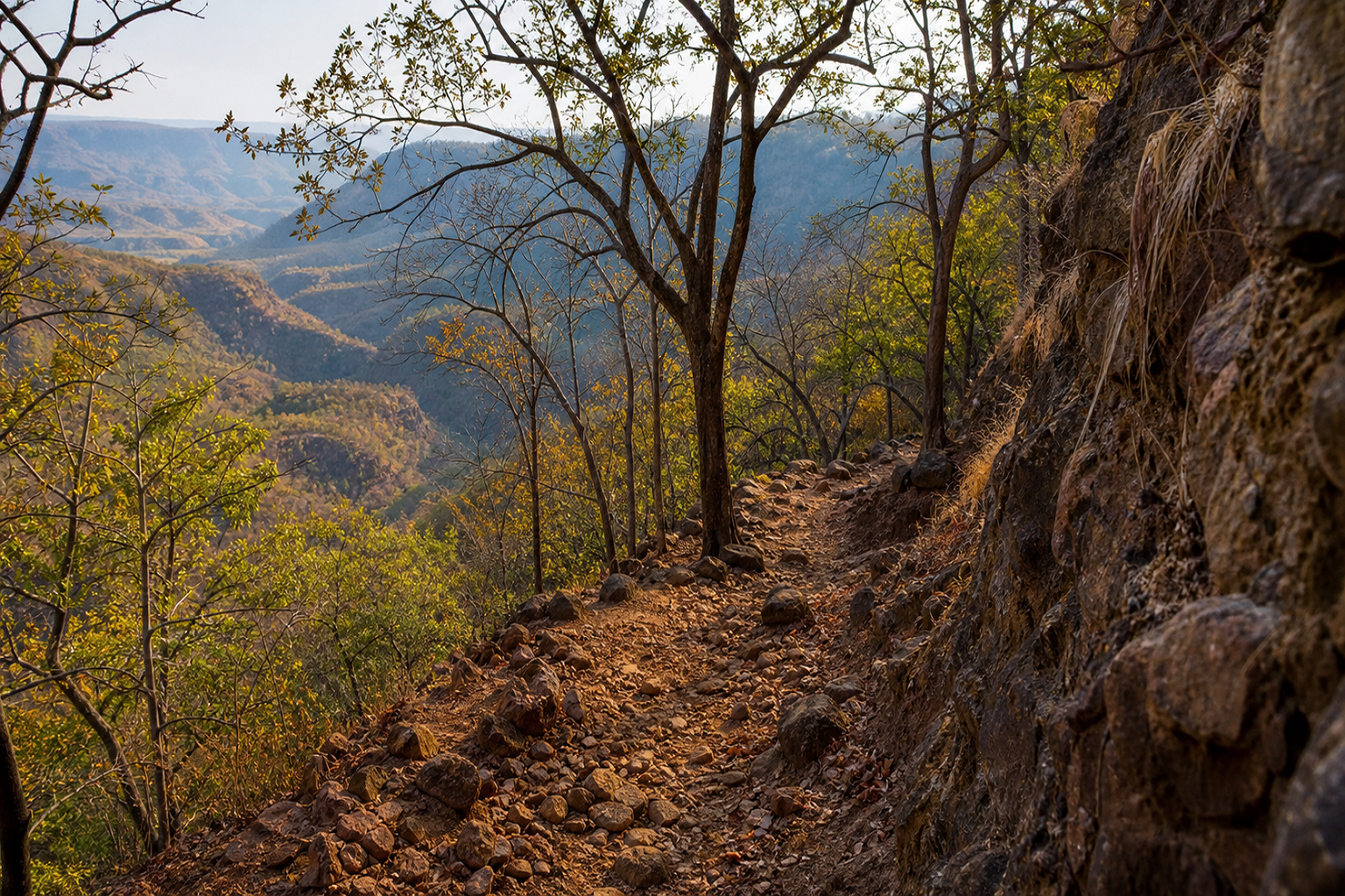 Pristine Core
500 m – 950 m
Pristine Core
500 m – 950 m
Dhakna Core Wilderness
One of the oldest protected sanctuaries in the reserve, characterized by steep valleys, pristine teak stands, and secluded waterways harboring apex predators.
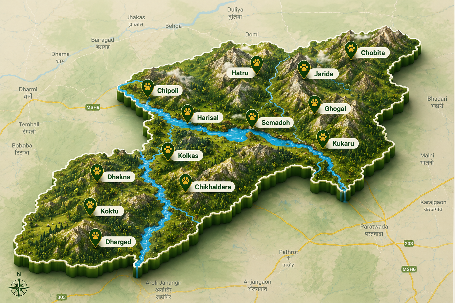
Melghat Topography & Hotspots
Spanning 1,677 square kilometers in the Satpura range, Melghat Tiger Reserve comprises Gugamal National Park (361 sq km) as its core along with Melghat Wildlife Sanctuary and surrounding buffer forests.
Three seasons, one changing landscape.
Climate in Melghat varies with altitude, creating distinct seasonal experiences across its hills, plateaus and valleys.
Monsoon
The reserve receives good rainfall during the monsoon, transforming the hills and valleys into a lush landscape.
Winter
Higher hills, plateaus and valleys experience a cooler climate, with comfortable conditions across much of the landscape.
Summer
Temperature varies considerably with altitude. High hills and plateaus remain cooler than the southern foothills.