

A Legacy of Conservation.
Where conservation history began.
Being a pioneer comes naturally to the beautiful landscape of Melghat which is nestled in the Satpuda hill ranges of Forsyth's and Dunbar's Central India.
When a tiger census was conducted in 1972, the Indian Government was alarmed to find only 1800 tigers as against 20000 to 40000 estimated at the turn of the 20th century. This led the Government of India under the then Prime Minister Smt. Indira Gandhi to set up Project Tiger in 1973 on the matter of tiger conservation.
From Project Tiger to Melghat
Tiger Census
A tiger census revealed a dramatic decline in India's tiger population, with only around 1800 tigers recorded.
Project Tiger
The Government of India launched Project Tiger for large-scale tiger conservation.
First Nine Tiger Reserves
Nine tiger reserves were established during the first phase of Project Tiger. Melghat was one of them.
Melghat Tiger Reserve
Melghat Tiger Reserve came into being on 22nd February 1974.
Melghat Wildlife Sanctuary
Melghat Wildlife Sanctuary was created in 1985.
Gugamal National Park
Gugamal National Park, forming the core area of the reserve, was carved out in 1987 with an area of 361.28 km².
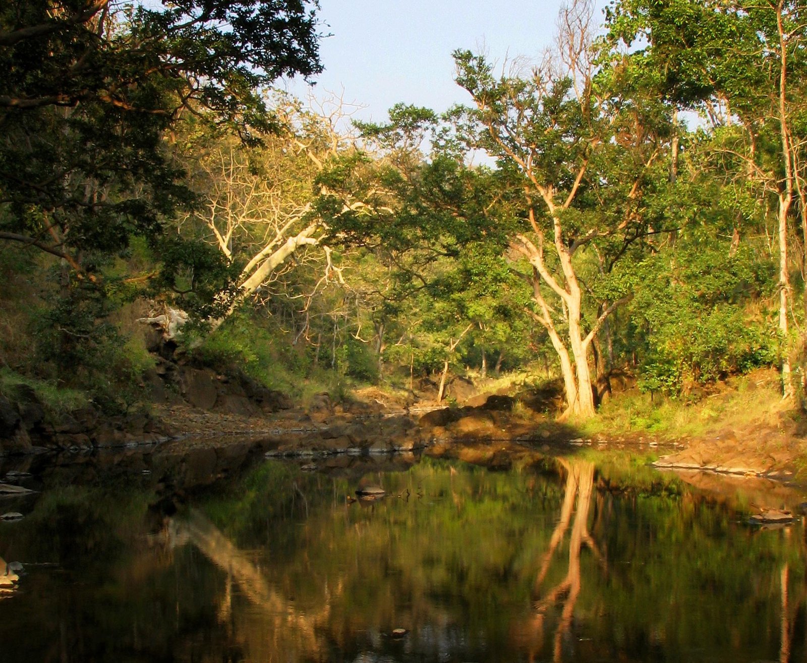
Valleys, hills, rivers & forests.
Initially it was over an area of 1571.74 sq. km. This was the first tiger reserve to be declared in the state of Maharashtra, which subsequently got expanded to 2029.04 sq. km.
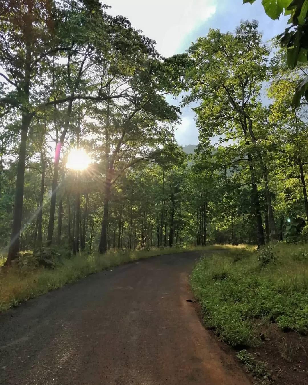
The mystic landscape of Melghat has vast tracts of inviolate natural forests consisting of unique and representative ecosystems with rich bio-diversity and varied habitats.
Locally known as 'khoras'.
Locally known as 'ballas'.
Rivers and 'nallahs' with water throughout the year in the 'dohs'.
Narnala Fort
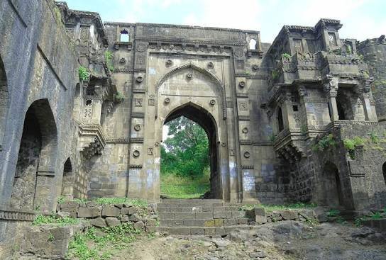
Narnala, also known as "Shahnur Fort", is a hill fortress in Maharashtra, India, named after the Rajput Ruler Narnala Singh.
The fort was first established in 10 century A.D. by Gond Kings. In the 15th Century it was occupied and rebuilt by the Mughals, becoming one of Berar Subah's thirteen sarkar.
It consists of three small forts: Zafarabad (or Jafarabad) fort on the east, Narnala in the center and Teliagarh to the west.
Major Features of Narnala
The fort combines strategic fortifications, gateways, water systems and architectural details developed across different periods of its history.
| Feature | Details |
|---|---|
| Fort Area | 362 acres (1.46 km²) |
| Watchtowers | 360 watchtowers |
| Gates | Six large and twenty-one small gates |
| Major Gates | Delhi Darwaza, Sirpur Darwaza, Akot Darwaza and Shahnur Darwaza |
| Inner Gateway | Shahnur or Mahakali Gate |
| Architecture | White sandstone, ornate decoration, lotus motifs, Arabic inscriptions and stone lattice-work |
| Historic Inscription | Records construction of the gate during the reign of Shahab-ud-din Mahmud Shah (Bahmani) by Fathullah Imad-ul-Mulk in 1486. |
| Water System | Aqueducts and drains designed to collect rainwater |
| Water Tanks | 19 tanks, including four that remain full throughout the year |
| Architectural Symbol | The fort still displays the "Ashtakamal" eight-petal lotus associated with the Narnal Singh dynasty. |